


There is a chance we could set a new mark Sunday for the warmest December 22nd on record. Natalie Hassell, a meteorologist at Environment Canada, says the record high for December 22nd is +2.5 degrees, set in 1994. The forecast is calling for a high Sunday of +4. Hassell explains what is bringing in the warm weather this weekend.
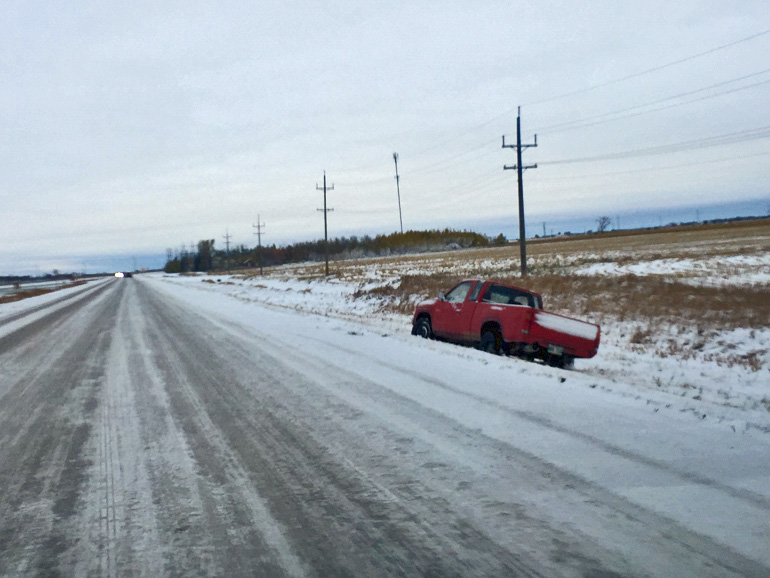
Hassell says icy roads could be a problem Saturday and Sunday evening. Hassell cautions that along with the mild weather, driving conditions could become treacherous around sunset Saturday and Sunday as wet highways and streets glaze over with ice. She notes the weather will cool down a bit for the week of Christmas.
"Monday, when people are either on Christmas vacation or back at work, the temperatures go back to cooler, although still warmer than normal. It's going to be warmer than normal into next week, but nearly as warm as this weekend."
The forecast highs for next Monday through Wednesday range from -5 to -7.


 Fri, Apr 19, 2:00 PM
 Healthcare, Professionals, Part-time, Full-time
 Featured


