


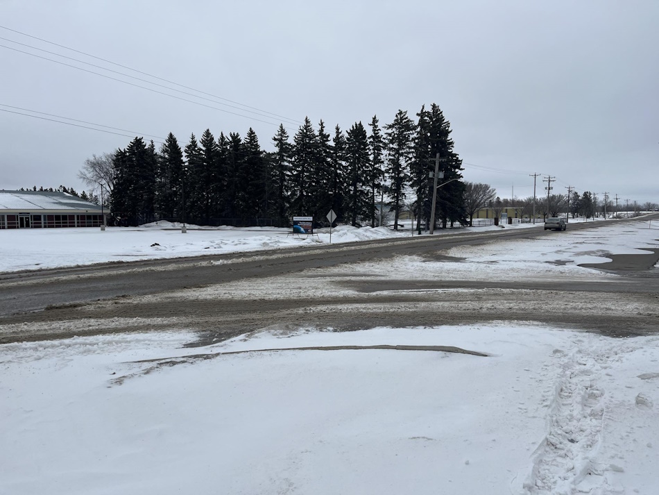
Portage la Prairie was blasted with another reminder that it is still winter and, in fact, not spring on Sunday night into Monday morning.
These classic Manitoba conditions are expected to keep up for most of the week, according to Environment and Climate Change Canada (ECCC) Meteorologist Samantha Mauti. She says another system is anticipated to bring another two to five centimetres of snow through Monday night into Tuesday morning.
"We are expecting some blowing snow and some reduced visibility on Tuesday. So, be careful on any major travel routes with this system."
Mauti notes that a cold front will bring temperatures down quite a bit this week.
"The temperatures plummeting well below normal Monday night and for Tuesday. So, normal highs for this time of year in Portage the Prairie are -5, and the lows are -15. The high on Tuesdays will be -17, same for Wednesday, with overnight lows in the -20s, and those wind chills in the -30s for the next couple of nights."
She calls this stretch's weather pattern quite variable for southern Manitoba.
"For the end of the week, we do see another warm front bringing the temperatures up for Thursday and Friday and then a cold front once again bringing those temperatures down for Saturday and then for the end of the weekend, there is another risk of snow. We're looking at another possible system through the weekend. We have a risk of flurries in the forecast for Saturday night and Sunday."
Mauti adds that with this rollercoaster of a week in front of us, ECCC recommends checking Manitoba 511 before heading out.


 Thu, May 2, 7:30 PM
 Full-time, Hourly, Part-time, Permanent, Skilled Trades, Transport
 Featured


